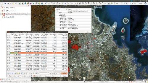
This one-day introductory course is aimed at people who need to do more with their cultural heritage & humanities data, specifically linking it with a GIS. No prior knowledge of GIS is required, and the renowned open source Quantum GIS (QGIS) software is provided to all course participants. No matter what platform you are using in your regular work, whether QGIS, ArcGIS, MapInfo etc, the basic techniques remain the same and management of cultural heritage & humanities data proceeds in the same way. Information will be provided for your specific platform, if required.
You will learn the following:
- types of cultural heritage & humanities data for GIS
- importing – format, projection, datum
- editing
- exports and outputs – digital and on paper
Material covered in the course includes an overview of the types of cultural heritage & humanities data available that is appropriate for inclusion in a GIS and the appropriate uses of that data. We also cover incorporating data from state registers and the public domain, as well as data supplied from other sources in a range of formats. Understanding how to incorporate data in a range of different formats (including how to identify the projection and datum) into a GIS is critical and fundamental to managing cultural heritage & humanities data.
Once we have the data into a GIS it is important to know how to process it. Common editing tasks are covered and this is your opportunity to raise any issues that you need solved for us to cover, time allowing. Please note that database management with GIS is covered in a second course, so you have database queries, we encourage you to sign up for that course as well. Finally, we look at output needs. Whether on paper or digital, the output needs to be tailored to the purpose for which it is delivered. After a brief discussion of how to choose the most appropriate output, we will cover common output formats.
This course is designed to help you get on top of using cultural heritage & humanities data efficiently and appropriately, thus speeding up your overall work flow and broadening the horizons of what is possible. Whether you are a student, a consultant or a GIS analyst in a large organisation that occasionally encounters cultural heritage & humanities data, this course will help you develop your skill-set and perform more productively in your role.
For more information, see our main training page.
